Tamborine National Park
Updated November 3, 2017
Park features
The Witches Falls section of the park was declared in 1908, making it Queensland’s first national park. Over the years additional reserves have been declared and today the park is made up of 14 sections of land on the Tamborine plateau and surrounding foothills.
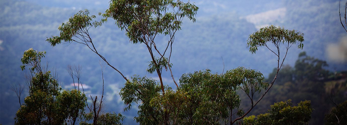
The park protects remnants of Tamborine Mountain’s plant communities and includes areas of rainforest with distinctive piccabeen palm groves, wet eucalypt forest dominated by tall flooded gums, open forest with bracken fern understorey and woodland. These plant communities provide essential wildlife habitat in a landscape almost entirely surrounded by urban and rural development.
Tamborine Mountain escarpment hosts 85 percent of all animal species and 65 percent of all plant species found in the Gold Coast City area. Some common animals seen in the national park include Australian brush-turkeys, scrubwrens, pademelons and one of the world’s largest skinks, the land mullet. Catch a glimpse of the near threatened Albert’s lyrebird or hear it mimicking calls of other birds, particularly during the winter months. The Richmond birdwing butterfly and one of the rainforest’s most colourful birds, the noisy pitta, migrate seasonally to the park from nearby higher altitude rainforests.
Basalt columns, cliffs, rocky outcrops and waterfalls are a lasting legacy of volcanic eruptions 23 million years ago. Tamborine is the most northerly remnant of the flows from a volcano centred on Mount Warning (Wollumbin).
Getting there
Tamborine Mountain is about 80 km south of Brisbane via Beenleigh and Tamborine Village or via the Pacific Highway and Oxenford–Tamborine Road.
Travelling north from the Gold Coast, Tamborine Mountain is 36 km from Southport via the Pacific Highway and Oxenford–Tamborine Road or 28 km from Nerang via Nerang–Beaudesert Road. From Canungra, take Tamborine Mountain Road for 8 km.
Tamborine National Park
You May Also Like


